Multibeam processing.
It's that easy.
Hydrographic data processing made simple and intuitive, while also containing the most advanced and cutting-edge tools.
Contact Sales Free trial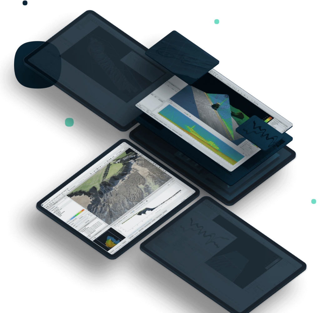
This site uses cookies to create a greater user experience. Read more
Hydrographic data processing made simple and intuitive, while also containing the most advanced and cutting-edge tools.
Contact Sales Free trial
Qimera presents the utmost in speed, ease of use, and capabilities.
The mission of Qimera is to make hydrographic data processing as intuitive and as simple as possible, while still offering powerful capabilities to those that need them, without cluttering the workflow for those that don't.
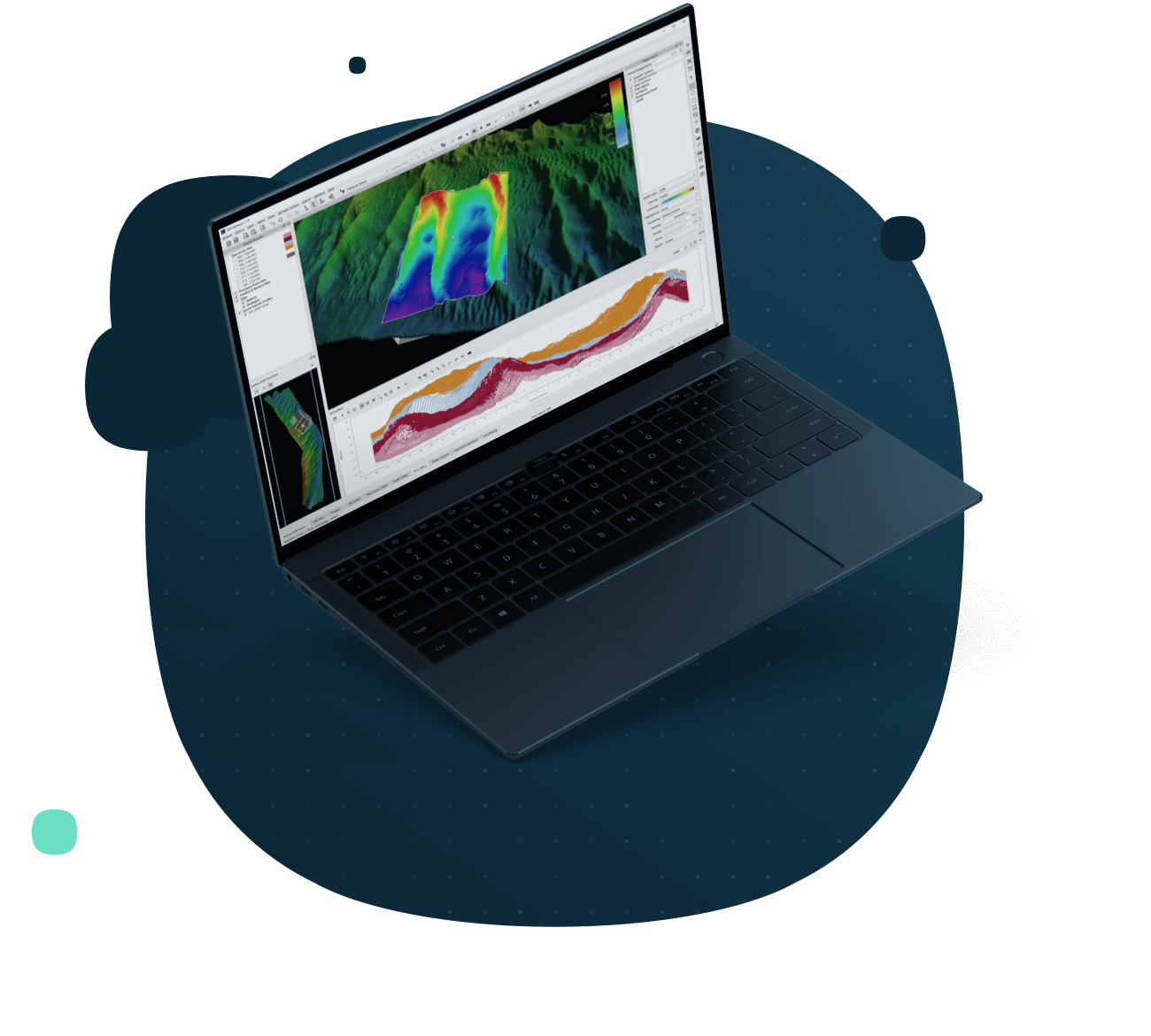
Qimera ensures absolute ease of use, allowing for inexperienced personnel to easily be using Qimera while the automated and streamlined workflow effectively circumvents human error that might result otherwise. Yet still the software contains the most advanced and cutting-edge tools to ensure the highest quality products, delivered in the most timely fashion.
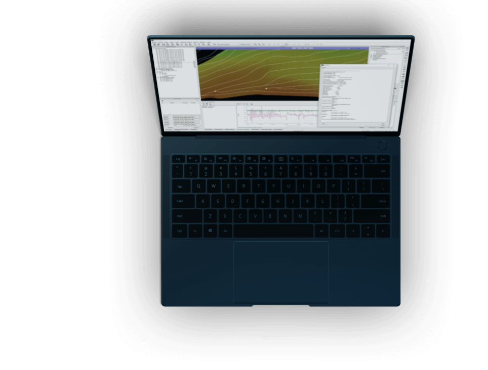
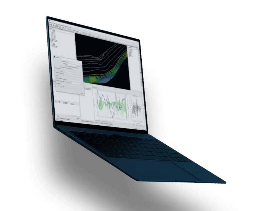

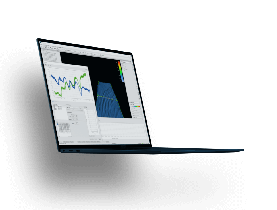
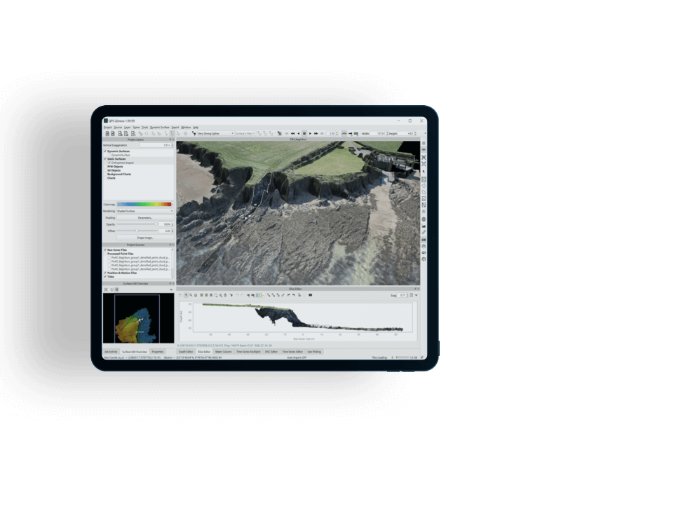
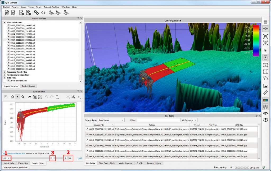
Workflows are streamlined and guided to ensure ease of use and error elimination, for junior and senior personnel alike.
"Hands-off" data import
Rich data extraction creates vessel file from the raw sonar data.
Guided workflows
Users are suggested of the next logical course of action.
"Hands-off" data processing, gridding, and automated data cleaning routines customized to your requirements.
Qimera Live
Directory monitoring function for near real-time point cloud processing and gridding.
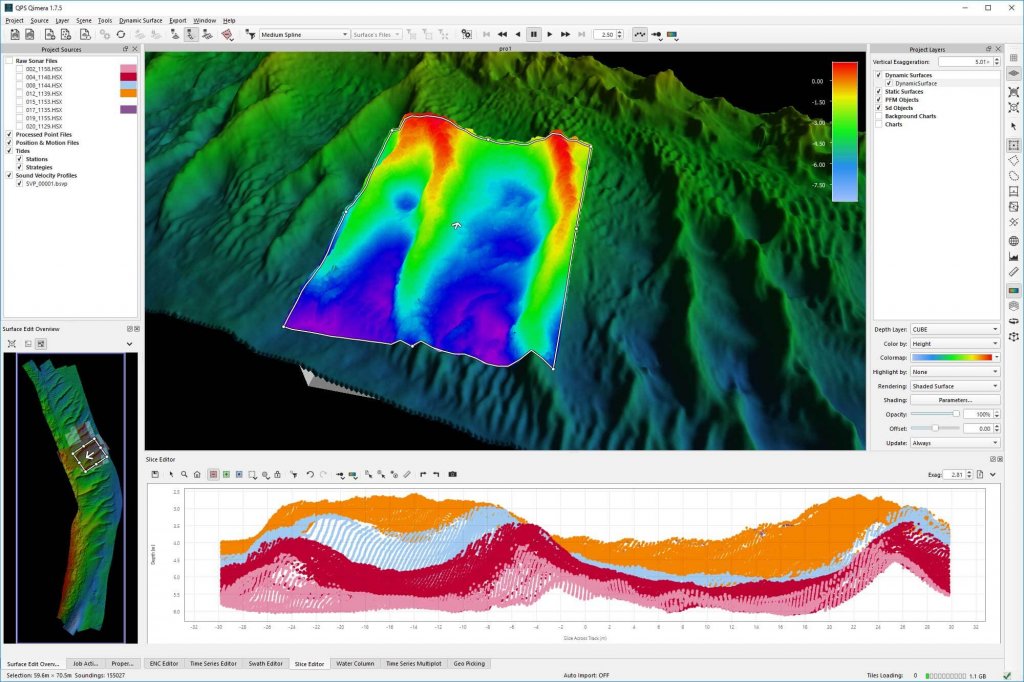
Spline filters
Automated data cleaning based on surface spline models results in huge time savings.
Qimera's base design ensures proper processing actions, and offers an easy way to correlate observations to your data.
Processing state management
The correct sequence of post-processing actions is performed in Qimera with a single click.
Time series multiplots
Observed and computed parameters are compared and dynamically linked to the scene.
Advanced and modern project structure and data linkages unlock workflow efficiencies that are unique to Qimera.
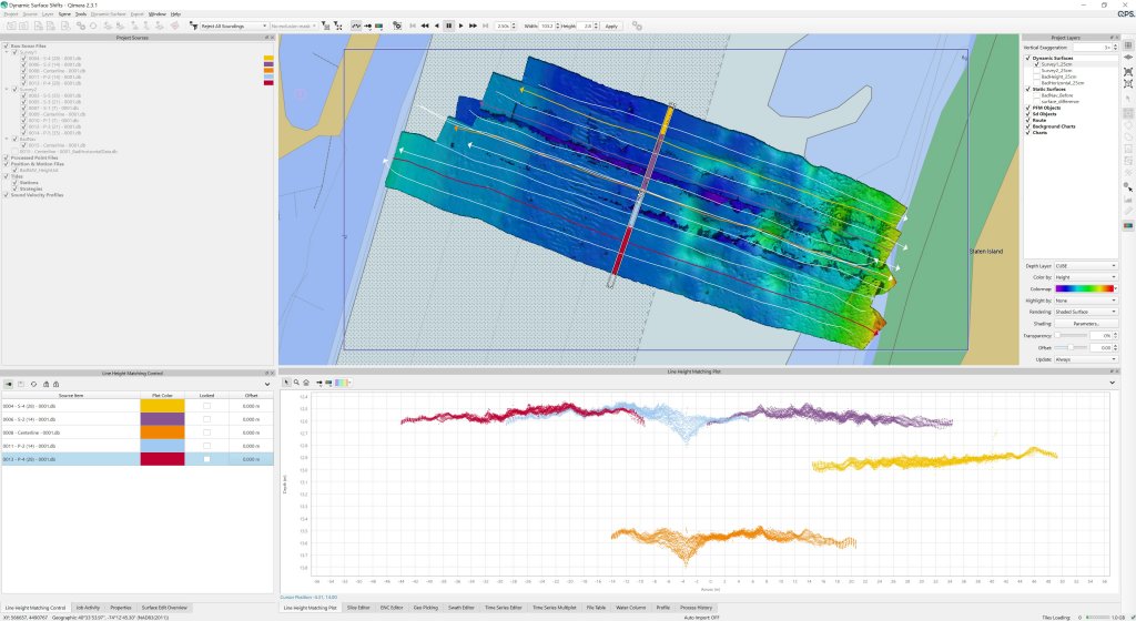
Multi-processor workflows
Methods to allow for multiple personnel to work on the same project simultaneously.
Connected feature management
Maintain linkages between S-57 features and bathymetry to keep your data synced.
Partners in innovation with academia and the industry, we embrace the latest research and with new tools we facilitate the transition to operations.
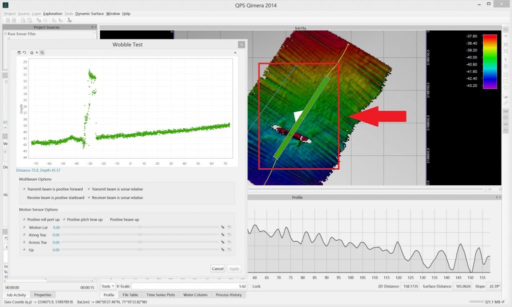
Patch test and Wobble tools
Quickly diagnose and fix any issues with the motion sensor integration to the multibeam.
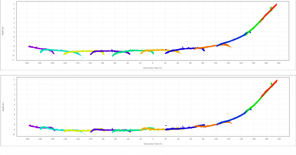
TU Delft sound speed inversion
Automated and easy to use tool to fix sound speed refraction in objective, repeatable fashion.
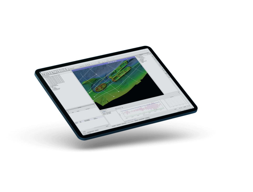
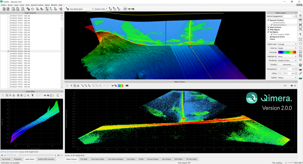
Qimera makes critical ancillary data processing, analysis, and visualization better and easier than ever before (data courtesy of Fugro (midwater) and 4DOcean (LAS)).
Midwater and Geocoder
Midwater processing directly in Qimera, and seamless linkages to FM Geocoder Toolbox.
Fledermaus technology
Unlock all the power of Fledermaus directly in the Qimera scene.





We're flexible. Licenses available by subscription, as perpetual, or on a rental basis.
What's best for you? Softlock and dongle options are available.
We're ready to assist. Licenses include online and phone support services.
Never get behind. Licenses include access to our latest updates and features.
We innovate. Licenses keeps you on the cutting edge of the industry.
Precise piloting with under-keel clearance and real-time information updates.
Learn more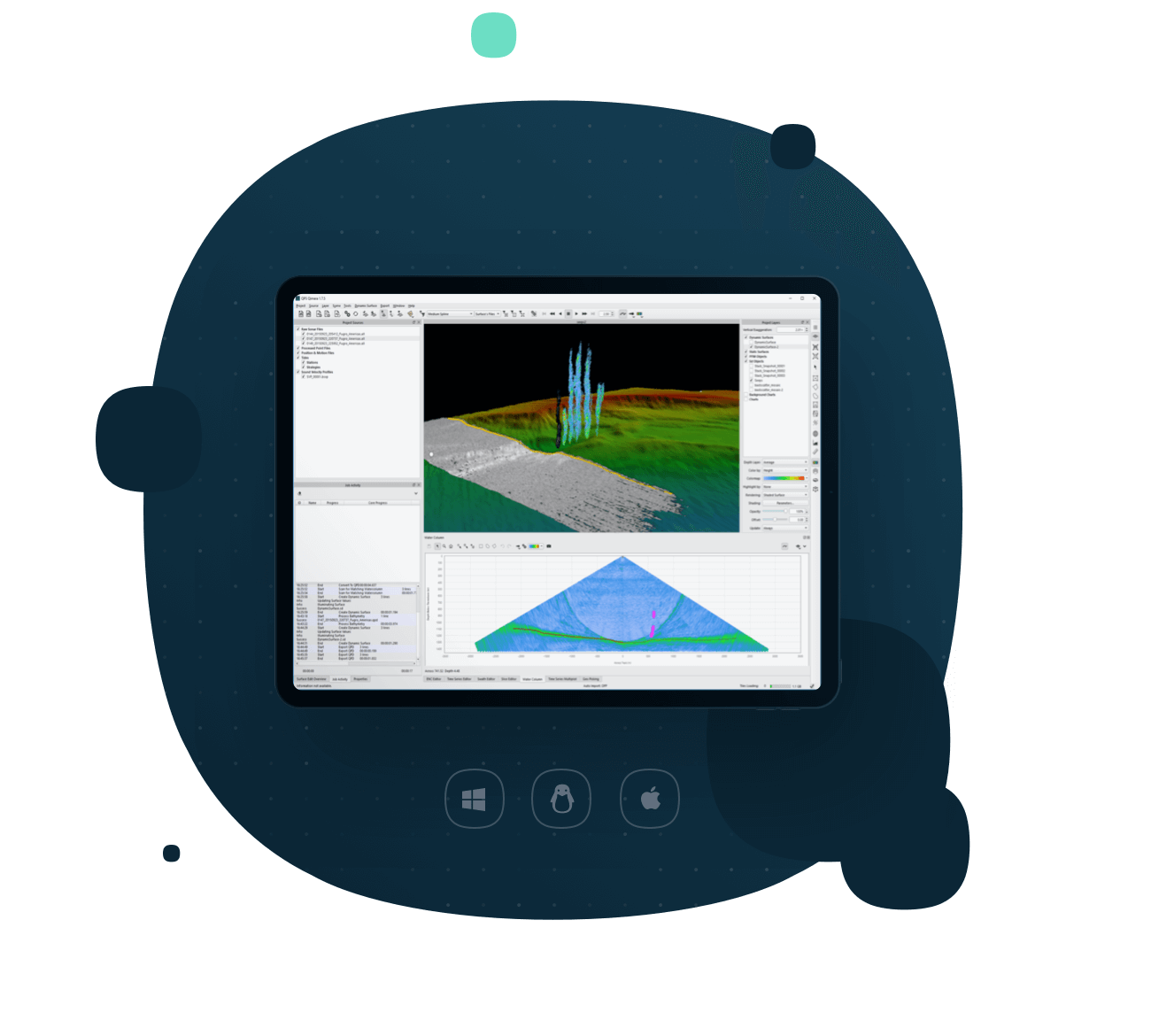
Everything you need to know about Qimera is below, with regards to specifications, supported platforms, system requirements, and supported file formats (data shown to the left courtesy of Fugro).
All specificationsFull sonar processing
Covers all major manufacturers for any survey platform, including surface vessels, ROV, AUV, and ASV.
Point cloud processing
Includes editing, filtering, and cleaning for a wide variety of point cloud formats.
Automated data import
Rich data extraction allows for a "hands-off" data import and automatically generated vessel files.
Guided workflows
Automated suggestions of the next logical user action, to guide personnel and eliminate human error.
Processing state management
Intelligent processing management to ensure the correct sequence of post-processing actions with a single click.
Qimera Live
"Hands-off" near-real time data processing and gridding.
Qimera Midwater
Add-on for fast, accurate water-column processing for QINSy DB, Kongsberg ALL and KMALL, and Reson/Norbit S7K formats.
Backscatter processing
Add-on for seabed backscatter processing and mosaicking via Fledermaus Geocoder Toolbox.



Want to give our software a spin? See what it’s like in real life or just test its capabilities. Try it out today!
Get free trial