New Laser Scanner Support
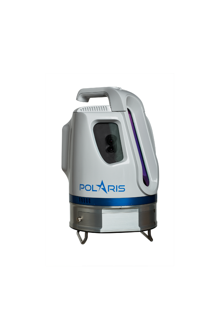
Teledyne Polaris Terrestrial Laser Scanner has been added to our list of supported laser manufacturers.
The entire Polaris family range (HD, ER or LR) is supported.
The scanner is fully operated by Qinsy and applications are therefore versatile:
- The combination of Qinsy interfaced to the Polaris on a moving platform while scanning profiles (line scanning in a fixed direction) will deliver a geo-referenced point cloud of co-ordinates, in real-time corrected for motion, heading and timing.
- The combination of Qinsy with the scanner, while scanning statically (e.g. on tripod, 360 degrees horizontally) will deliver you immediately a geo-referenced point cloud of your scanned surroundings.