Lithuanian Transport Safety Administration chooses QPS Qimera for validation of hydrographic data
LTSA Chooses QPS and ESRI Over Major Competitors to Strengthen Nautical Charting and Bathymetry Capabilities
Zeist, The Netherlands – 20th Aug, 2019. QPS, the leading maritime geomatics software solutions provider, announced a contract with the Lithuanian Transport Safety Administration (LTSA), Hydrography and Aids to Navigation Division. QPS partners with Hnit-Baltic, as well as Esri, the global leader in location intelligence and chart production, to implement a new seabed database and nautical cartography system.
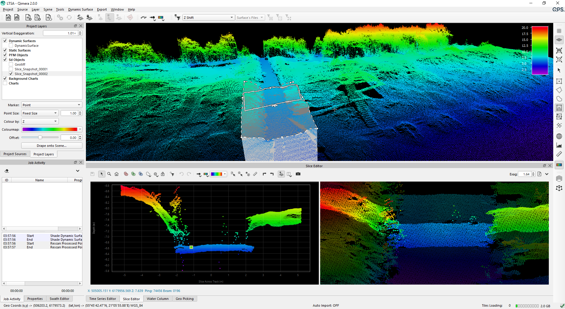
LTSA uses Qimera software by QPS to validate the huge volume of bathymetric data that comes into the Administration to ensure only the data that meets the correct IHO standards is stored in the ESRI bathymetric database and then onto the new charts.
Qimera will take in data from all the major multibeam sonars as well as single beam and LiDAR in formats ranging from raw sonar to point cloud and simple raster. Qimera also enables to import imagery, CAD and, of course, GIS data to enhance and assist the LTSA skilled hydrographic surveyors in making the decision either to accept or reject the data.
Frans Nijsen, Sales Manager at QPS, says that “LTSA choosing Qimera for validating bathymetry data prior to input into the ESRI database shows that it is the tool of choice for hydrographers who require advanced, but also easy-to-use software, to ensure that only the highest quality data is sent for ENC/chart production.”
Qimera, a QPS multibeam, LiDAR & UAV data processing package, is in use by survey, offshore construction and renewable companies, Dredging companies, Navies, government organisations and academia worldwide to enable the creation of accurate, clean seabed mapping products.
To read more about our services and workflow optimizing software, please visit QPS.

