4D geo-spatial analysis.
Not just a pretty picture.
4D analysis toolbox, with movie-making tools and integrated video. The gold standard for presentation and communication.
Contact Sales Free trial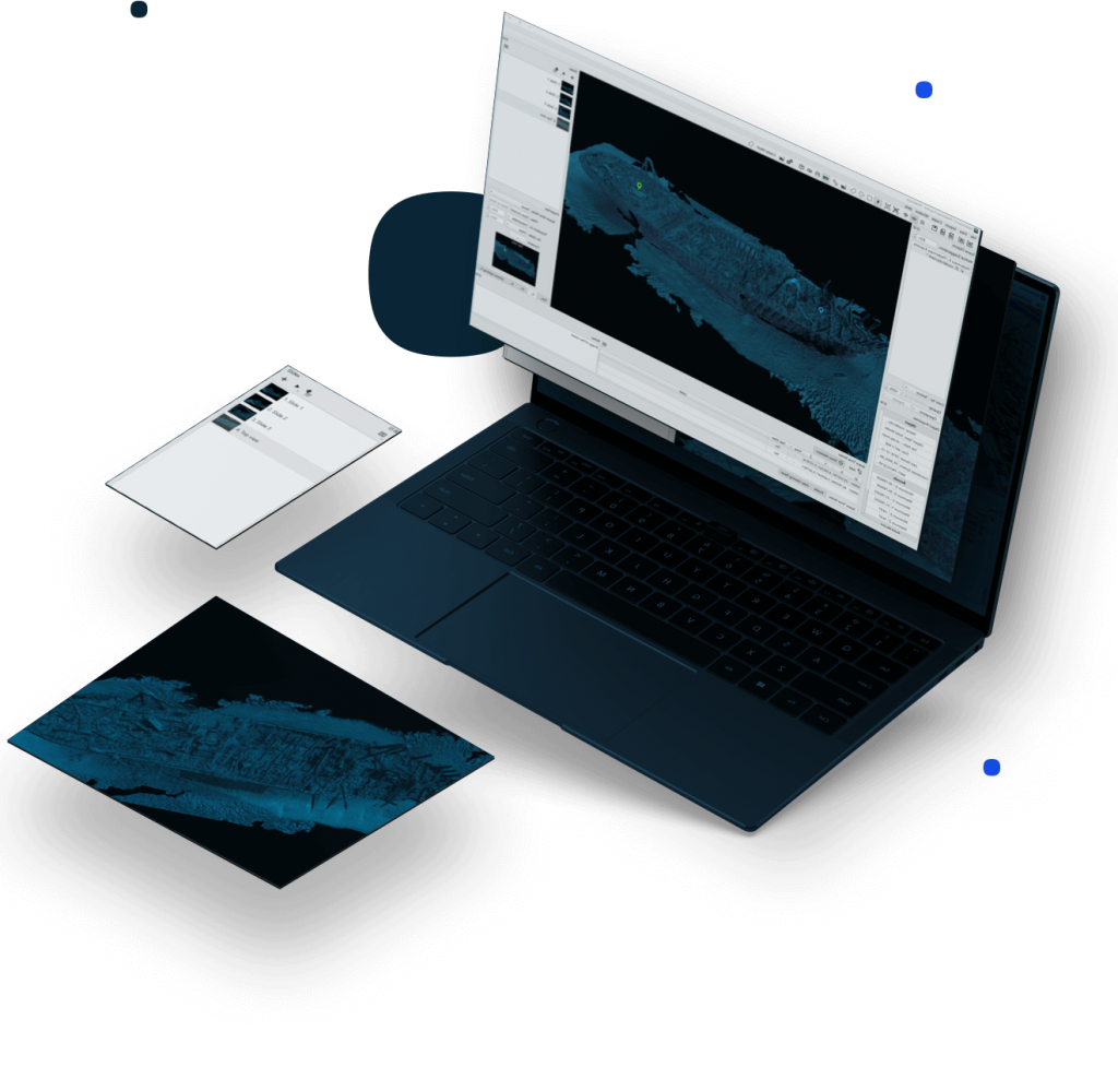
This site uses cookies to create a greater user experience. Read more
4D analysis toolbox, with movie-making tools and integrated video. The gold standard for presentation and communication.
Contact Sales Free trial
Fledermaus presents the utmost in integration, capabilities, and communication.
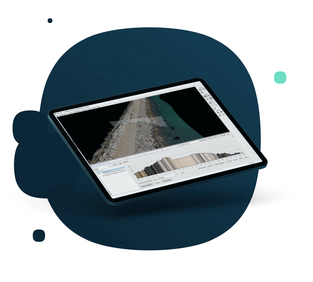
Fledermaus unlocks the potential of your data, with a wide variety of analysis tools working in 3D or 4D space. With fast and easy presentation tools, show your data better than ever before.
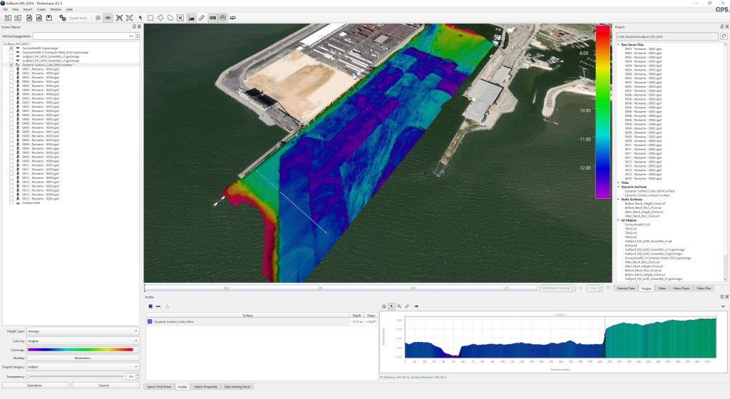
Fledermaus supports a very wide variety of data types for direct import, where realizations and connections are made among data types in 3D and even 4D space. The extensive functionality of Fledermaus allows its use across many phases of a project from the planning, processing and QC, through to analysis and production of images, plots, and videos.


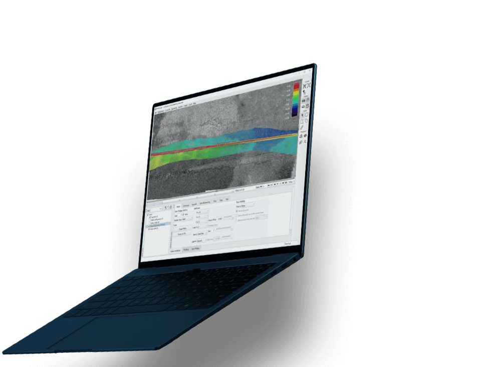
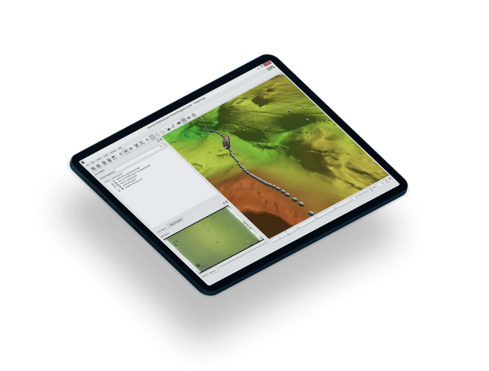
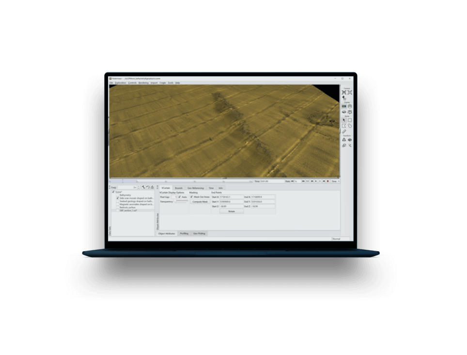
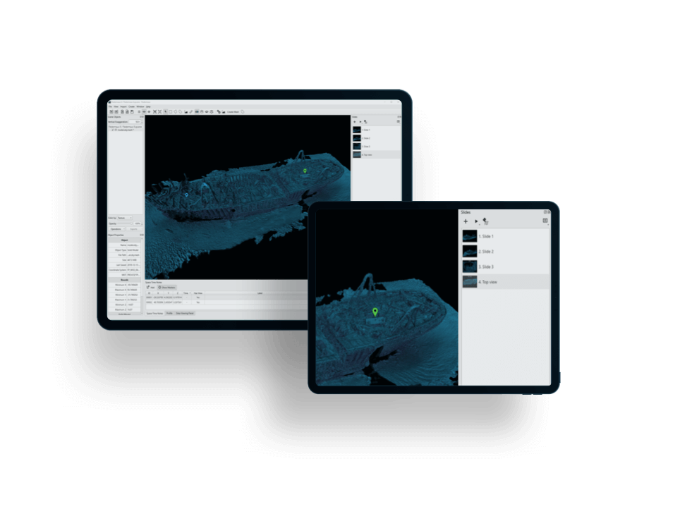
Direct import to a wide variety of data into 3D space, with support for time-linked data sets and 4D functionality.
Data format variety
Grids, points clouds, rasters, imagery, CAD, ENCs, photos, KML, KMZ, and more.
ESRI connection
Create a direct two-way link from Fledermaus to ArcGIS Geodatabase and suite of GIS tools.
Embrace the Fledermaus technology for unmatched functionality with imagery, rasters, gridded and ungridded data.
Image draping
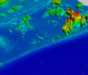
Drape side scan mosaics, backscatter, charts, class, textures, and various imagery onto surfaces.
Engineering tools
Slope, rate of change, surface differences, and long and cross profiles.
Multibeam backscatter processing, to infer sediment types from seabed snippets or to find targets in the water-column.
FM Geocoder Toolbox
Backscatter processing and multi-frequency mosaicking, intra-vessel normalization, and seafloor characterization.
FM Midwater
Processing and analysis of multibeam and singlebeam water-column data and seismic data.
Workflow support toward hydrographic, geological, environmental, offshore, exploration, coastal zone mapping, habitat mapping, marine construction, and large immersive visualization.
Object tracking
Real-time tracking of objects (vessels, animals, etc.) via serial cable, UDP packet, or logged string.
Pipeline tools
Pipeline analysis (eventing), route planning, pipeline length calculations, and data exports.
Stereo-capable 4D functionality brings the time element to your data, greatly enhancing analysis, visualization, and reporting.
Video-data linkage
Integrated video allows for synced playback with data.
Show change over time
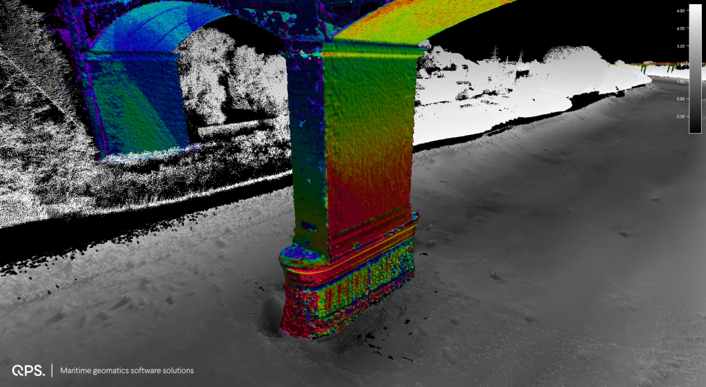
Calculate object and surface changes including rate of change.
Create movies and presentations in 3D or 4D space, and export to video, images, snapshots, gif, etc., for easy playback and sharing.
Time/space notes
Slide changes through preset time/space views, with easy text/image insertion atop data.
Fly-throughs
Create and record Fly-throughs in 3D space to best showcase your data.


No available add-ons
We're flexible. Licenses available by subscription, as perpetual, or on a rental basis.
What's best for you? Softlock and dongle options are available.
We're ready to assist. Licenses include online and phone support services.
Never get behind. Licenses include access to our latest updates and features.
We innovate. Licenses keep you on the cutting edge of the industry.
Precise piloting with under-keel clearance and real-time information updates.
Learn more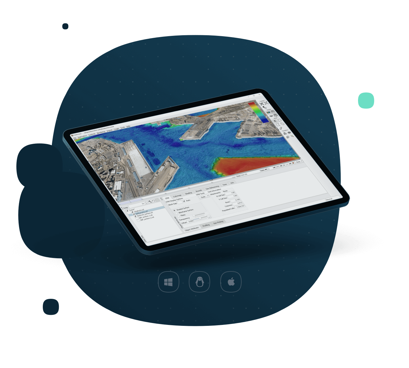
Everything you need to know about Fledermaus is below, with regards to specifications, supported platforms, system requirements, and supported file formats.
All specificationsStereo-capable 4D visualization
Functionality integrated to time series data components.
3D fly-throughs
Create and record fly-throughs in 3D space.
Video integration
Synchronized data-integrated video playback in the scene.
Navigation support
Support for navigation peripherals (e.g. bat, mouse, and space navigator).
Time/space notes
Set for movie-making with easy text/image insertion.
Grid functionality
Create, interpolate, mask, crop, and resample grids for the best possible interpretation of the seafloor.
Image draping
Drape imagery (e.g. side scan or backscatter mosaics, charts, class, textures, etc.) atop 3D surfaces.
Object and surface analysis
Show object and surface change over time, and perform slope and surface difference calculations.



Want to give our software a spin? See what it’s like in real life or just test its capabilities. Try it out today!
Get free trial