From ship to shore,
know your
QPS combines powerful software with world class services. From hydrographic data collection to piloting, whatever you need, QPS provides the support and tools to match.
October 2 Get the latest Qinsy!Maritime software tools.
the full Q-Suite.
Qinsy
Survey planning, acquisition, and real-time hydrographic data processing with the most stable package on the market.
Learn more ProcessQimera
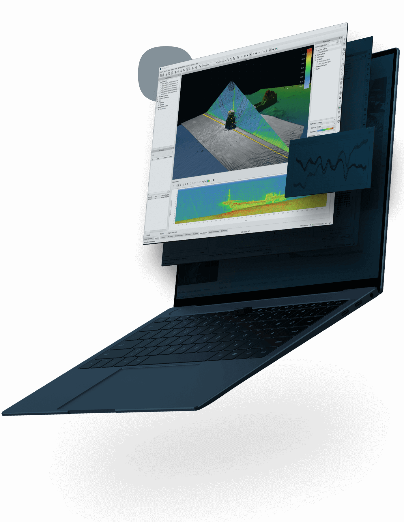
Hydrographic data processing made simple and intuitive, while also containing the most advanced and cutting-edge tools.
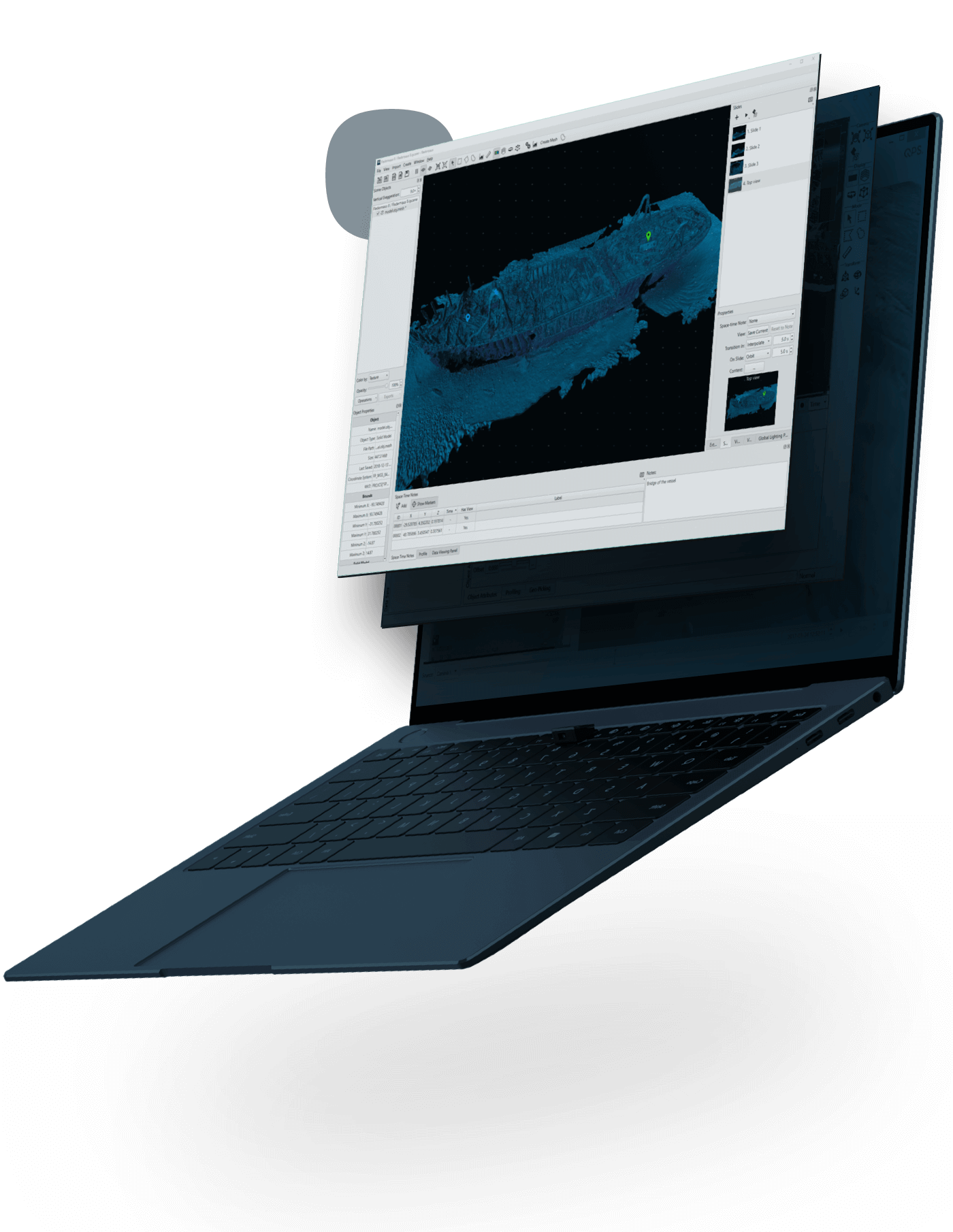
Learn more AnalyzeFledermaus
4D geo-spatial analysis, with movie-making tools and integrated video. The gold standard for presentation and communication.
Learn more MapQarto
Rapid, automated ENC production from high resolution source bathymetry. The tool of choice to maximise port operations.
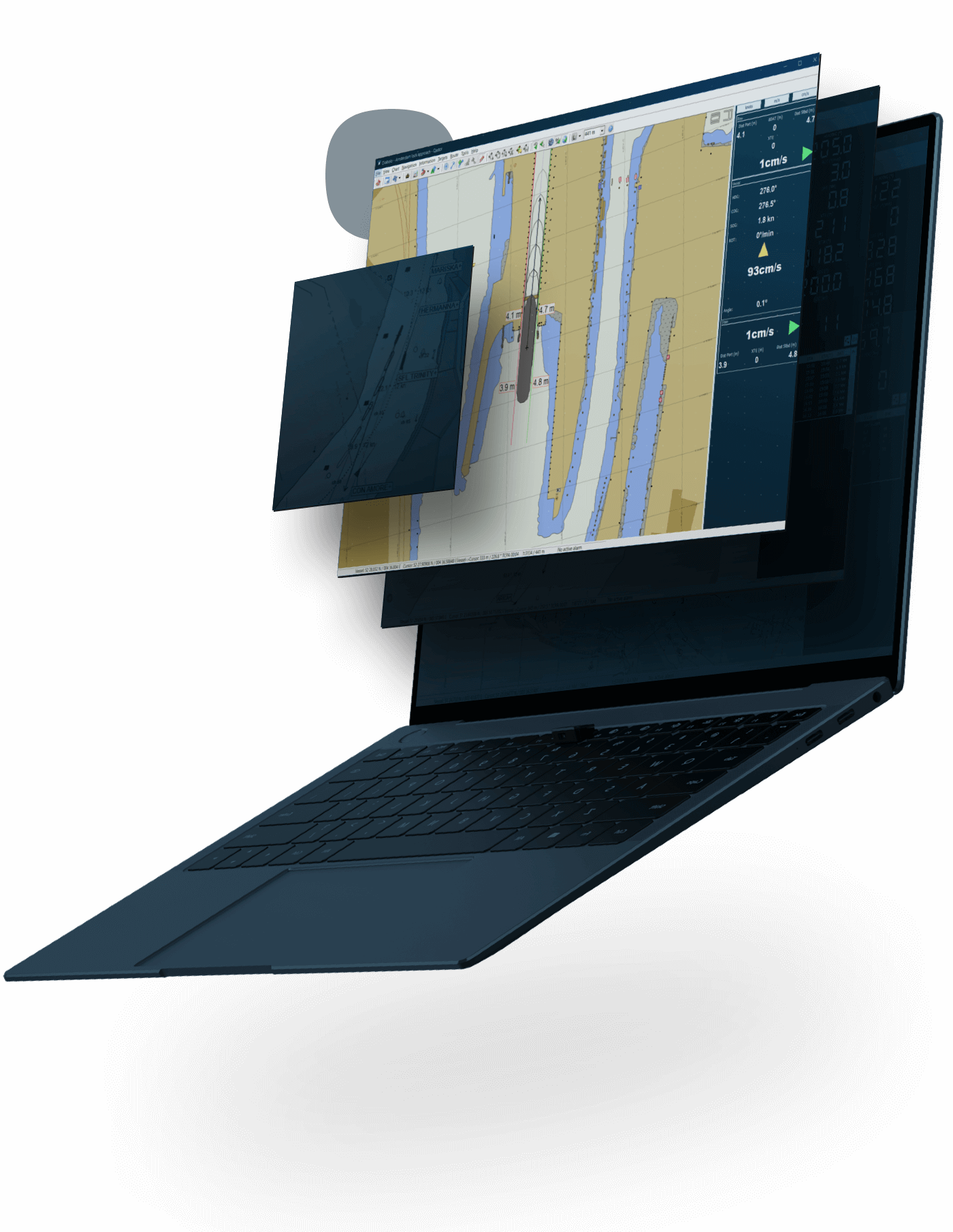
Learn more ShareQastor
Precise piloting with under-keel clearance capability and real-time information updates. The ultimate in maritime safety.
Learn moreIt’s simple.
QPS handles it all.
With features and capabilities to meet any client demand, and stability that is renowned throughout the industry, QPS keeps even the most complex jobs running smoothly.

Workflow flexibility
Our software packages are modular and easily integrated into almost any existing workflow.

World class service
We offer on-site training and support. Expect a powerful workflow your crew will be confident to operate.

The complete solution
We cover the entire workflow, from the surveyor all the way to the pilot, and we offer great value in product integration.

Get the job done
We provide the most powerful tools on the market to meet almost any requirement. There's no job we can't handle.
Trusted worldwide.
By the biggest and the best.


Training & Events.
Need training, or want to visit us at one of our events? Find a date here.
View all


